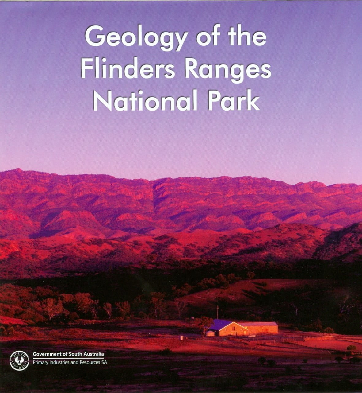
Geology of the Flinders Ranges National Park
$10.00
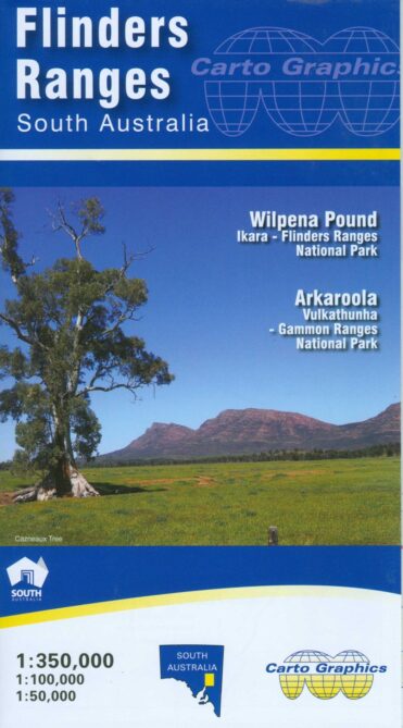
A geological map of the Flinders Ranges National Park area.
This map explains the Geological History of the Flinders Ranges and is an excellent Geolocical Map, it also has Fossil information about Stomatolites, The Ediacara Fauna, Cambrian Trace Fossils, and Cambrian Shelly Fossils
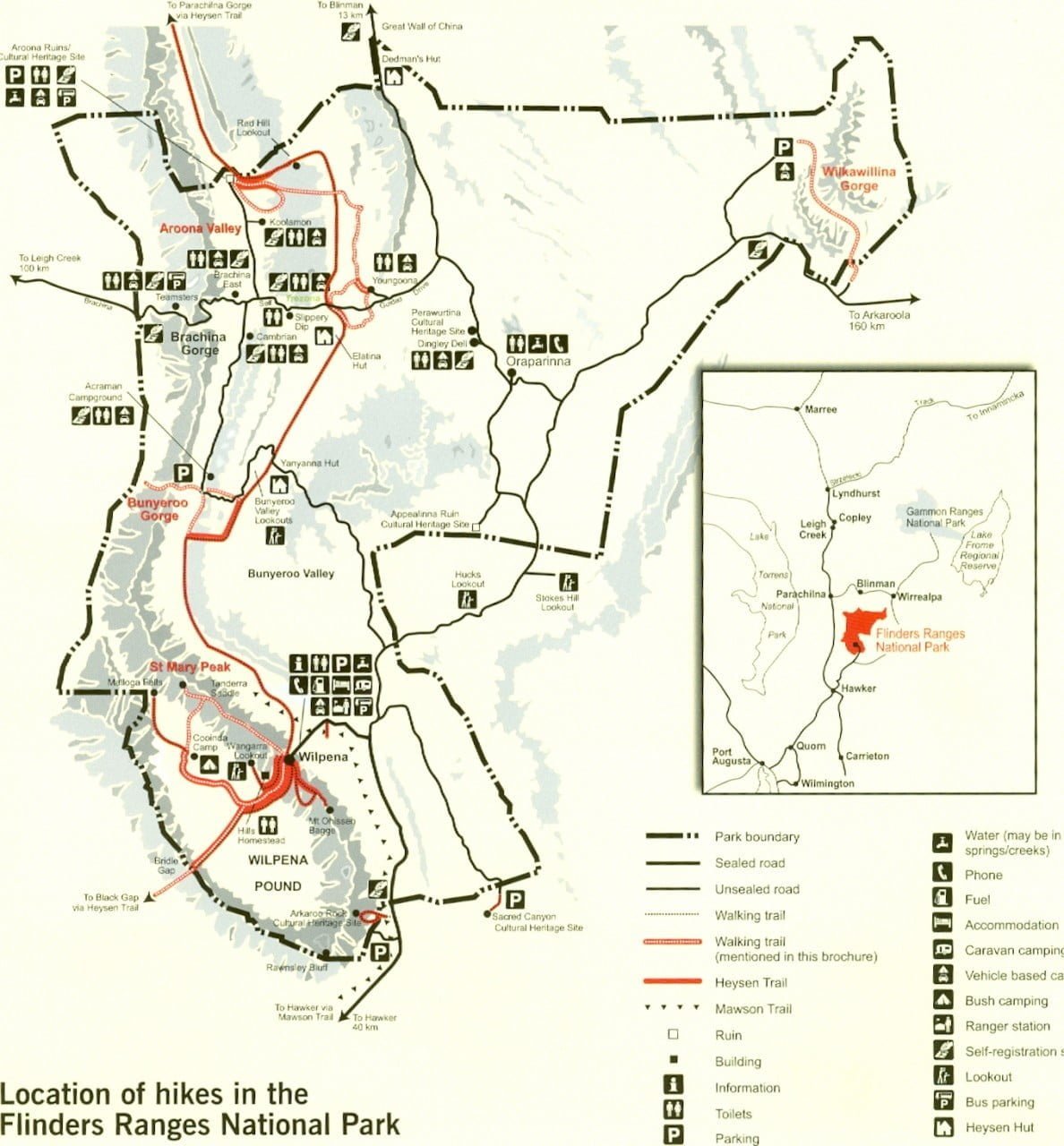
DRIVES in the area Arkaroo Rock, Rawnsley Bluff Lookout, Hucks Lookout, Stokes Hill Lookout, Great Wall of China, Brachina Gorge, Wilkawillina Gorge Road, Bunyeroo Valley, and Bunyeroo Valley Lookout
Walks or hikes to do , Wilkawillina Gorge, Bunyeroo and Wilcolo Creeks, Haywards Hut, St Mary Peak, Bridle Gap, and the Heysen Trail.
This map is a great learning tool for the whole family and great value.
Out of stock
Description
A geological map of the Flinders Ranges National Park area.
This is a great map with lots of information and is a must have map.
This map explains the Geological History of the Flinders Ranges
- Fossils
in the area for example
- Stomatolites
- The Ediacara Fauna
- Cambrian Trace Fossils
- Cambrian Shelly Fossils
- DRIVES
- Arkaroo Rock
- Rawnsley Bluff Lookout
- Hucks Lookout
- Stokes Hill Lookout
- Great Wall of China
- Brachina Gorge
- Wilkawillina Gorge Road
- Bunyeroo Valley
- Bunyeroo Valley Lookout
- HIKES
- Wilkawillina Gorge
- Bunyeroo and Wilcolo Creeks
- Haywards Hut
- St Mary Peak
- Bridle Gap
- Heysen Trail
Additional information
| Weight | .050 kg |
|---|---|
| Dimensions | 21 × 19.8 × 1 cm |
You must be logged in to post a review.
Reviews
There are no reviews yet.