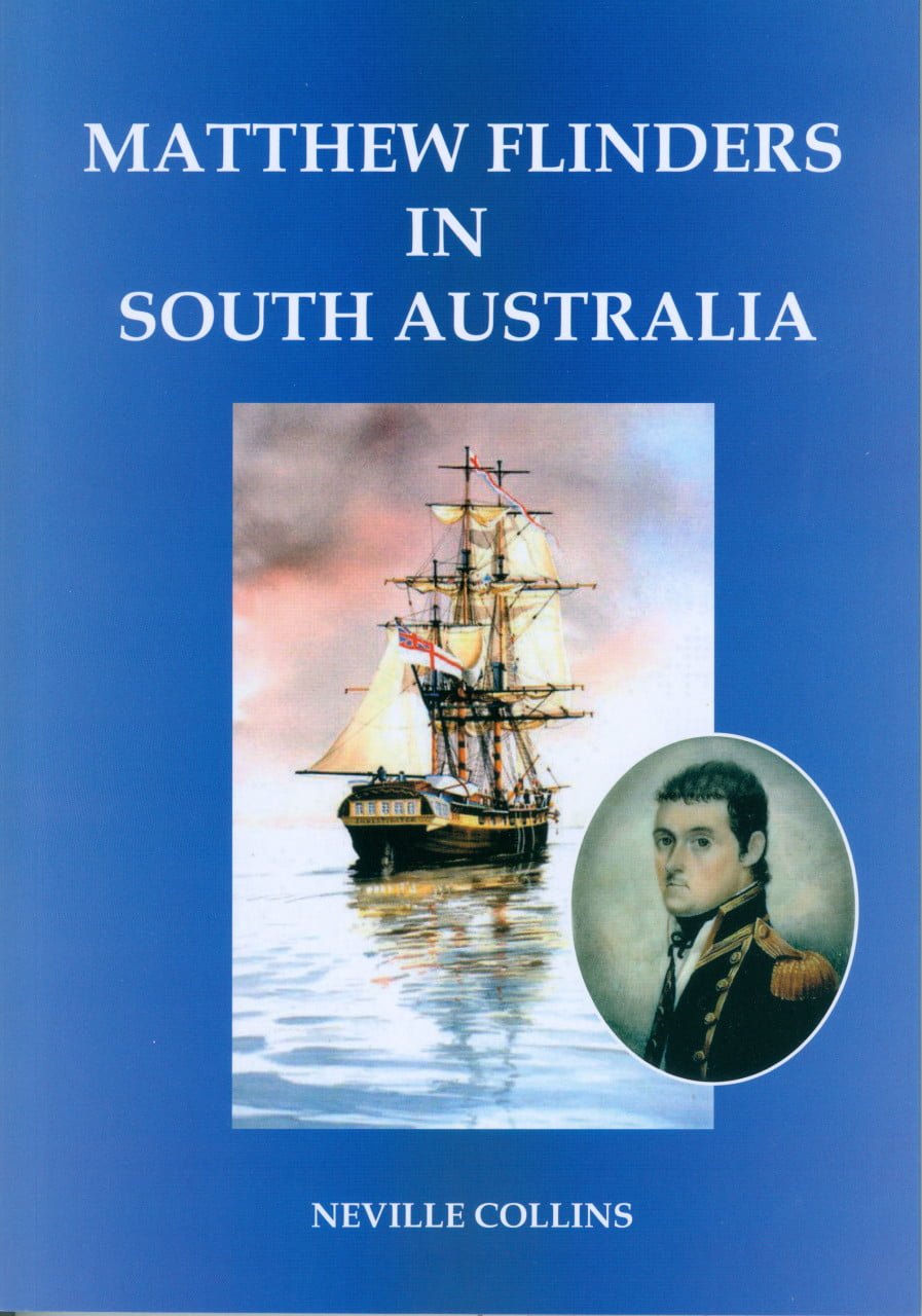
Matthew Flinders in South Australia
$30.00
There are many books written about Matthew Flinders detailing his life and maritime experiences. The better known books are re mentioned in the bibliography at the rear of this book.
Out of stock
Description
It became the duty of a 27 year old naval commander, Matthew Flinders, to chart the area and also establish whether the Australian continent comprised two islands or that a river entered the region from a vast inland sea as was thought by many at the time.
There are many books written about Matthew Flinders detailing his life and maritime experiences. The better known books are re mentioned in the bibliography at the rear of this book.
It is not the objective of this publication to add another to the extensive list, but instead concentrate on one segment; his exploration in HM.S. Investigator, of the coast extending from what became the boundary with Western Australia in the west to the boundary with Victoria to the east, and which is now the coastline of South Australia.
The charting of this coast, between 26 January and 19 April 1802, was significant in that for the first time the complete outline of Australia was determined. However, from a South Australian perspective it was the first step to the European settlement of this state.
Following the publication of Flinders’ journals, Captain Charles Sturt, in 1829, sailed down Australia’s longest river, the Murray, from New South Wales to its mouth at present day Goolwa. Two years later, Captain Collet Barker, en-route to Sydney from Western Australia, visited the region south of Adelaide and explored the ranges inland where he climbed the highest peak, Mount Lofty. He then traversed the Fleurieu Peninsula to the Murray where tragically he was killed by Aborigines after crossing the narrow channel near where this river enters the sea.
In 1833, the results of Sturt’s expedition were made known and generated interest among those in England intending to establish a new settlement in Australia. Consequently, during 1836, the first emigrants embarked and on 28 December of that year the new colony of South Australia was proclaimed.
Most Flinders historians, when writing about his explorations, use as their main source his two volumes titled A Voyage to Terra AustraIis (plus one volume of maps) which were completed shortly before his death in 1814.
In 1914, Ernest Scott published the first comprehensive biography of Flinders titled The Life of Matthew FIinders. Since that time naval historians have examined every aspect of his life, travels and discoveries, pointing out, in some cases, such as in Geoffrey Ingleton’s very detailed Matthew FIinders: Navigator and Chartmaker, a few of the mistakes made by Flinders, some flaws in his character and several errors of judgement.
The most definitive publication of recent times is the massive two volume work published in 2015 by The Hakluyt Society of the United Kingdom and edited by Kenneth Morgan titled Australia circumnavigated: the voyage of Matthew Flinders in HMS Investigator 1801-1803. For attention to detail and completeness it will probably never be surpassed. In 1801 a large portion of the Australian coast from Western Australia to Victoria was still unexplored.
Author Neville Collins’ account of Flinders’ experiences, between 26 January and 19 April 1802, while navigating the coastline of South Australia is complemented by numerous maps, diagrams and photographs which should add to other publications about one of the greatest navigators of the era, and be required reading for those interested in exploration, South Australian and maritime history.
Additional information
| Weight | .415 kg |
|---|---|
| Dimensions | 24.0 × 17.0 × 1.0 cm |