Hawker Seismograph Station
What is seismology ?
The earth’s crust can be likened to a round ball with a soft centre and an outside shell cracked into many segments. These segments are continuously moving as they float on this soft centre.
Sometimes the edges of the segments rub against each other releasing a large amount of energy, this is felt as an earthquake.
Seismology is the science of recording these movements.
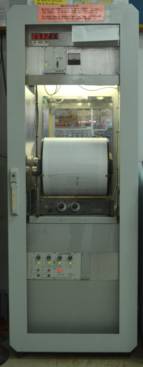
How are earthquakes recorded ?
A sensor (called a seismometer), which is rather like a very sensitive microphone, is buried in the ground. The seismometer will detect any minor movements of the earth and produce a corresponding signal.
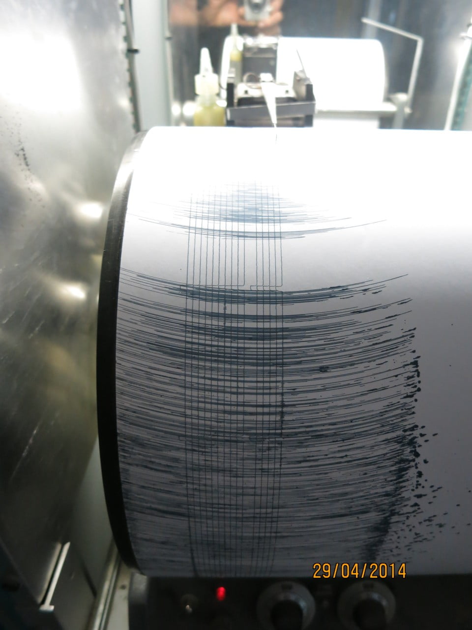
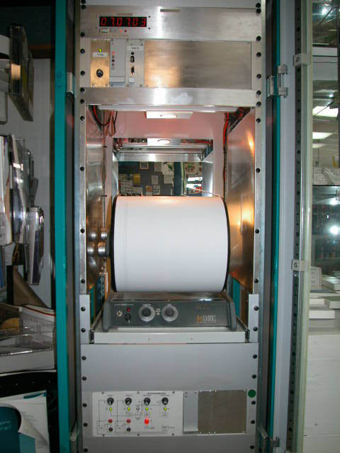
This signal is amplified many times and processed by electronic equipment. The signal may then be recorded by a pen on paper drum recorder or may be stored electronically (similar to a computer file).
The recording equipment is known as a seismograph.
This very sensitive equipment not only records earthquakes but also detects a number of other occurrences such as large animals moving about near the seismometer, heavy traffic on nearby roads or quarry and mining blasts. The resulting signal from each of these has a distinctive shape.
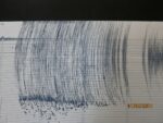
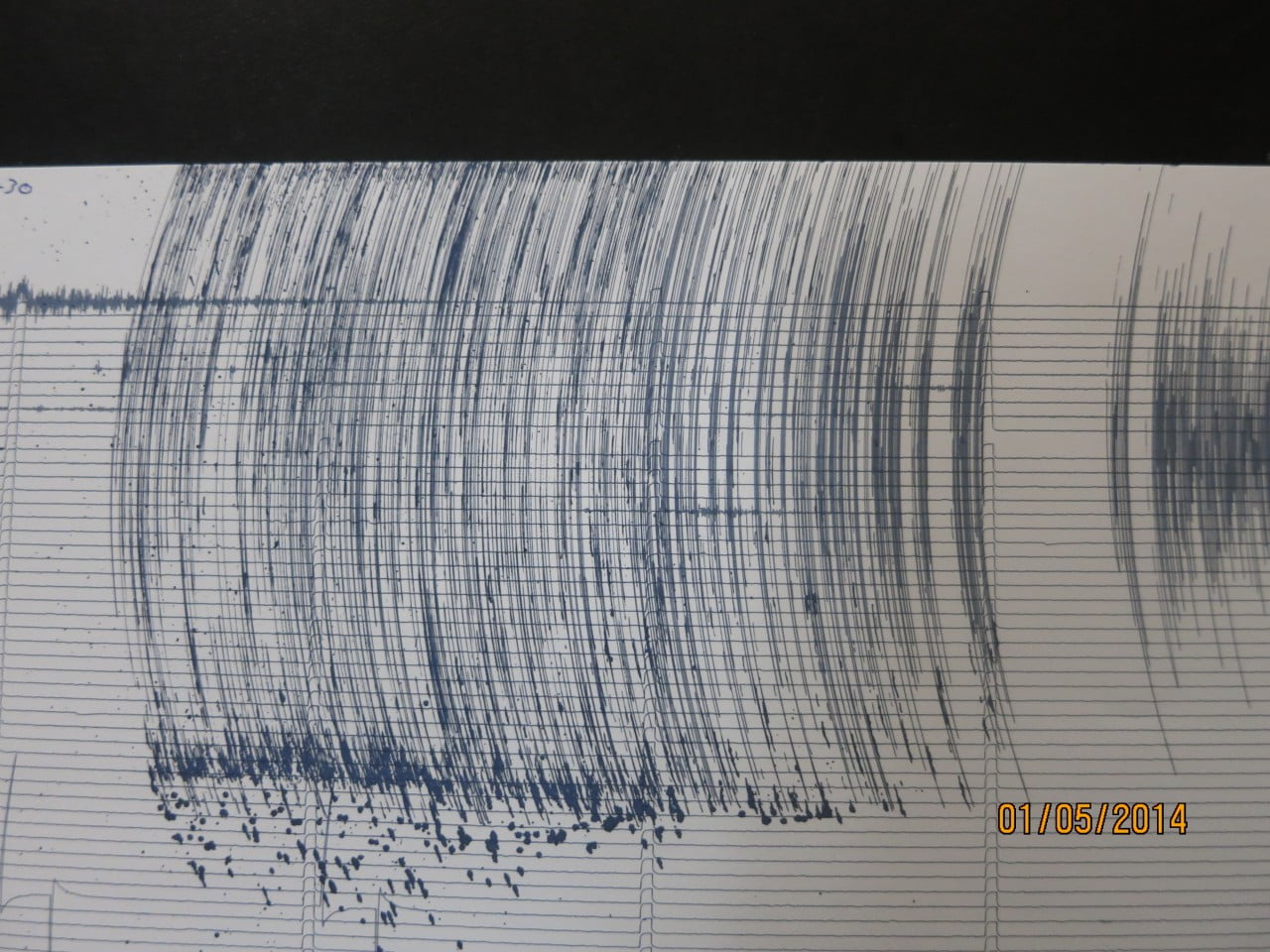
What does an earthquake signal look like ?
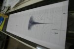
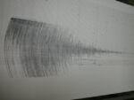
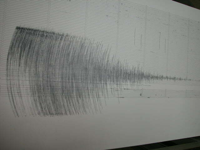
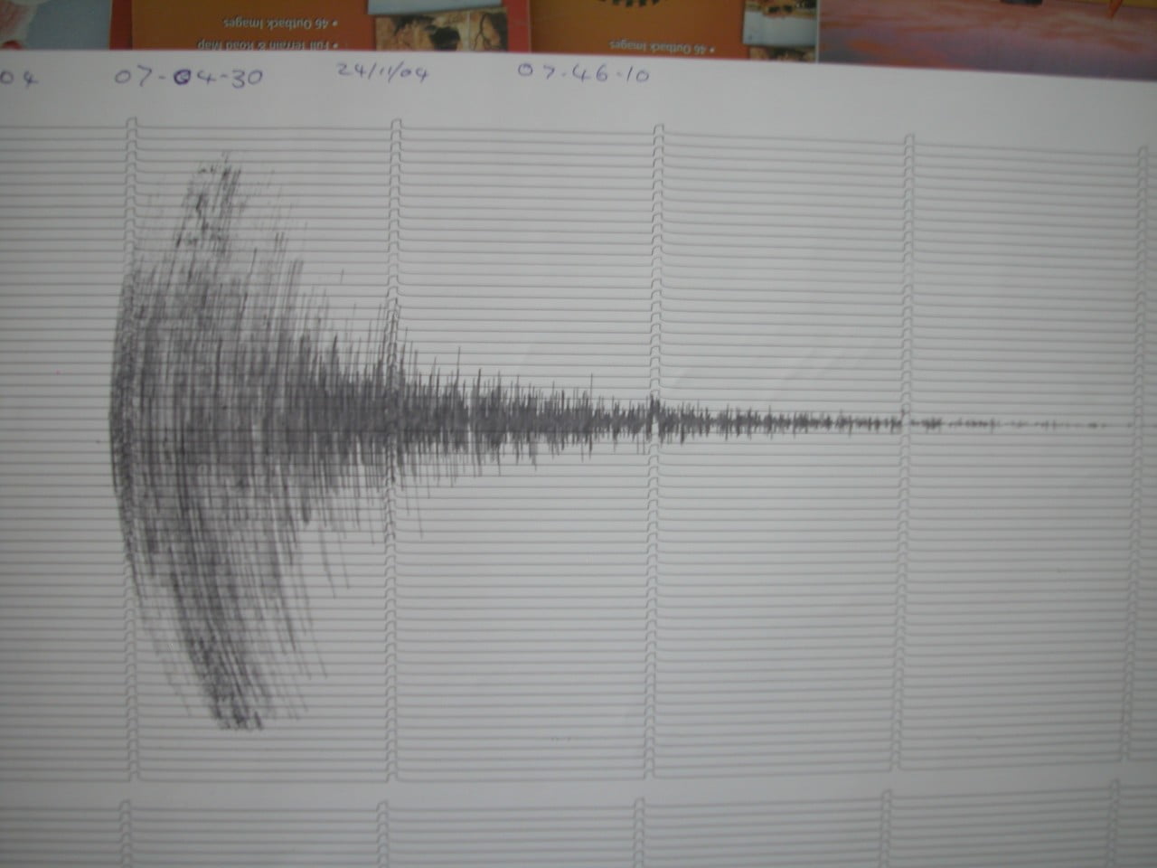
This is a typical earthquake signal;
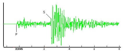
These signals are recorded with a very accurate time scale. Note the points labelled “P” and “S” on the above signal. By measuring the time difference between these two points, and performing some calculations, it is possible to determine the distance from the sensor to the earthquake epicentre.
The vertical size of the signal can be used to determine the magnitude of the earthquake.
How does the magnitude scale work ?
The magnitude scale commonly used is the “Richter Scale”. This is a logarithmic based scale, that is the difference between each step is a factor of ten times. eg. Mag. 4.0 is ten times greater than Mag. 3.0.
To give an idea of the range of the scale;
Magnitudes below about 2.5 are not normally felt by humans but are recorded by seismographs. Magnitudes between 3 and 5 may frighten people but do not cause much damage. Over 6 the damage is normally major to devastating.
How are earthquakes located ?
The location of an earthquake can be determined by having a network of stations available. A method like triangulation can then used to determine the location of the earthquake.
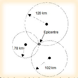
Put simply, a circle is drawn around each station, the size of the radius of the circle represents the distance from the station to the earthquake. When you have three or more stations, the place where the circles intersect each other is the location or “epicentre” of the earthquake.
Earthquakes actually occur at varying depths in the earths crust. In Australia this is normally down to around 20 km deep, whilst overseas earthquakes can be over 300 km deep. The actual location below the earth’s surface at which the earthquake occurs is called the “hypocentre”; the “epicentre” is the point on the earth’s surface directly above the hypocentre.
Information Sheet PDF.
-
- Sheet of paper on the drum
-
- Flat Sheet off he drum
-

- Seismograph
-
- Flat Sheet off drum

-
- Flat sheet off drum 1
-

- Seismograph 1
Near real time earthquake stations around South Australia.
Near real time Hawker Station.
Have you visited our online shop.